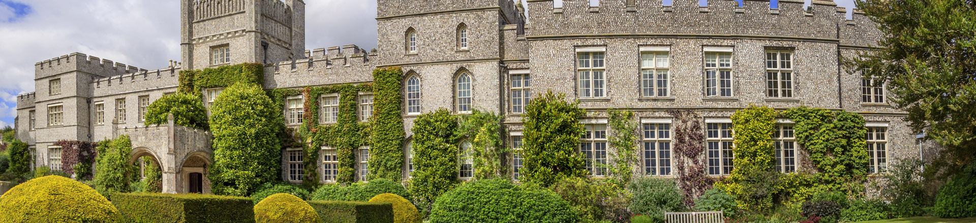
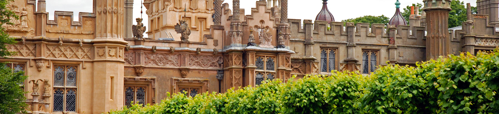
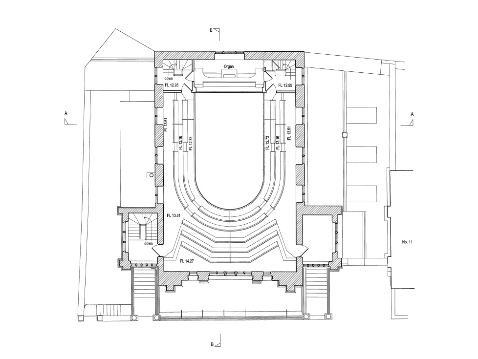
Measured Building & Topographical Surveys
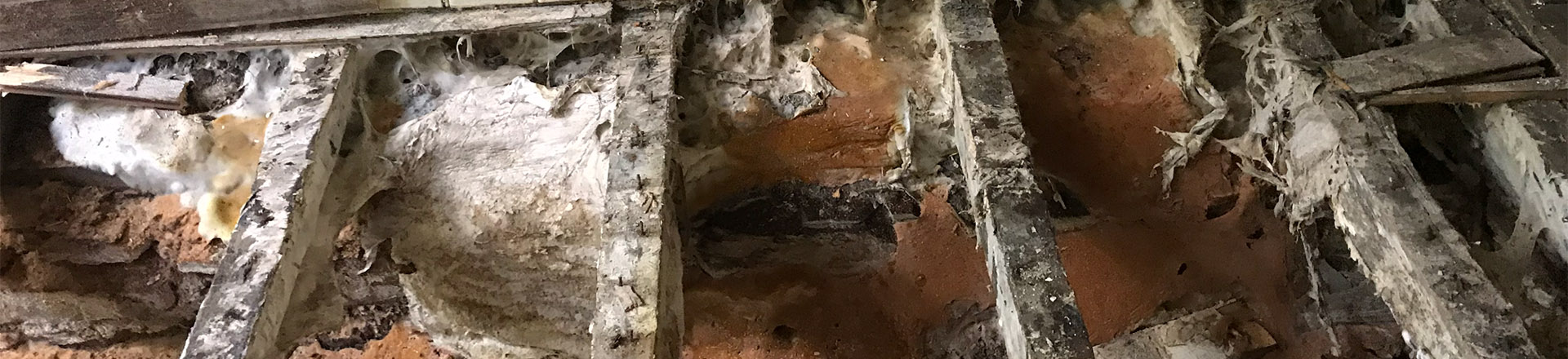
The characteristics of Buildings, particularly Historic Buildings, are such that they can be extremely difficult to accurately survey. Traditional techniques based upon hand drawn sketches can be frustrating when vital measurements are found to be missing, added to which the building being surveyed may be uneven, meandering or irregular resulting in the Surveyor assuming unrecorded details to close the survey.
Using Leica Reflectorless Laser technology, external and internal measurements to be taken with pin-point accuracy and downloaded into a CAD based software package. The laser can reflect off virtually any surface which can be seen by the Surveyor accurately recording previously difficult objects to measure, such as roof lines & chimneys. 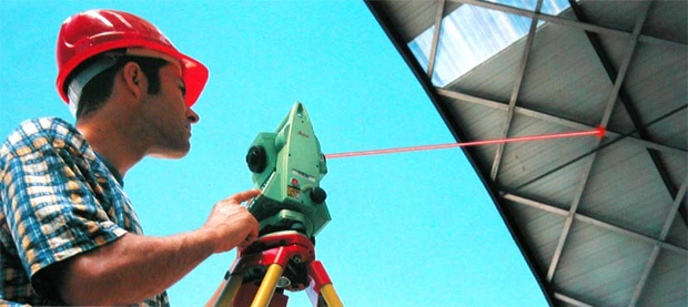 Using such technology, we can fix the corners of objects with a co-ordinate, either local or Ordnance Survey, knowing that however irregular an object, the important measurements will be accurate. In the instance of irregular walls, multiple ‘shots’ can be taken to determine its true line. Each point taken is downloaded with x, y and z co-ordinates.
External boundaries and features are plotted using the same methods producing highly accurate topographical surveys. 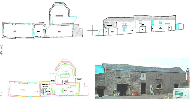
Rectified Photogrammetry
Photogrammetry is the practice of determining the geometric properties of objects from photographic images and historically is almost as old as modern photography itself. At SMT Associates we can import digital photographs undertaking a process to digitally rescale the photograph to fit the perimeter of an elevation, this enables detailed features to be added to elevations without spending hours on site and thus saving our clients money. The image below was compiled using laser technology coupled with rectified photogrammetry. An example is shown below. 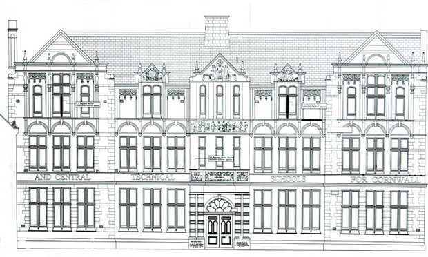 The software we use is ‘Penmap Building Survey’ which runs through Sunscreen Processors linked to Leica Total Stations. This enables data to be logged automatically without the Surveyor laboriously entering data, a situation where human error could be introduced
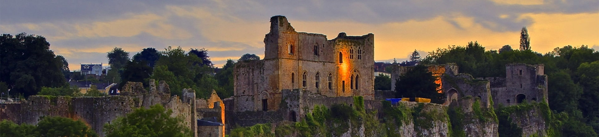
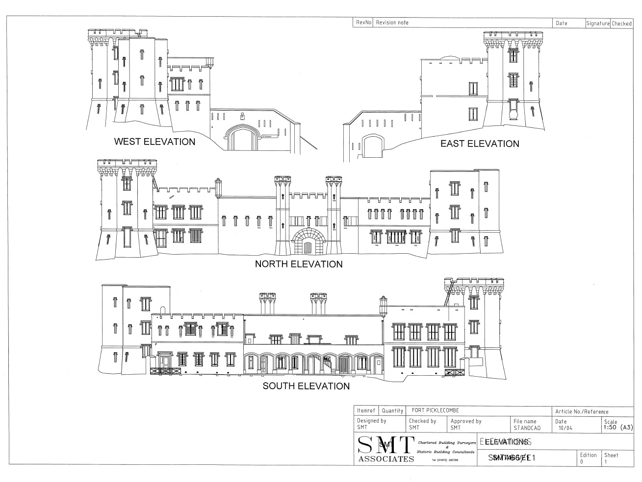
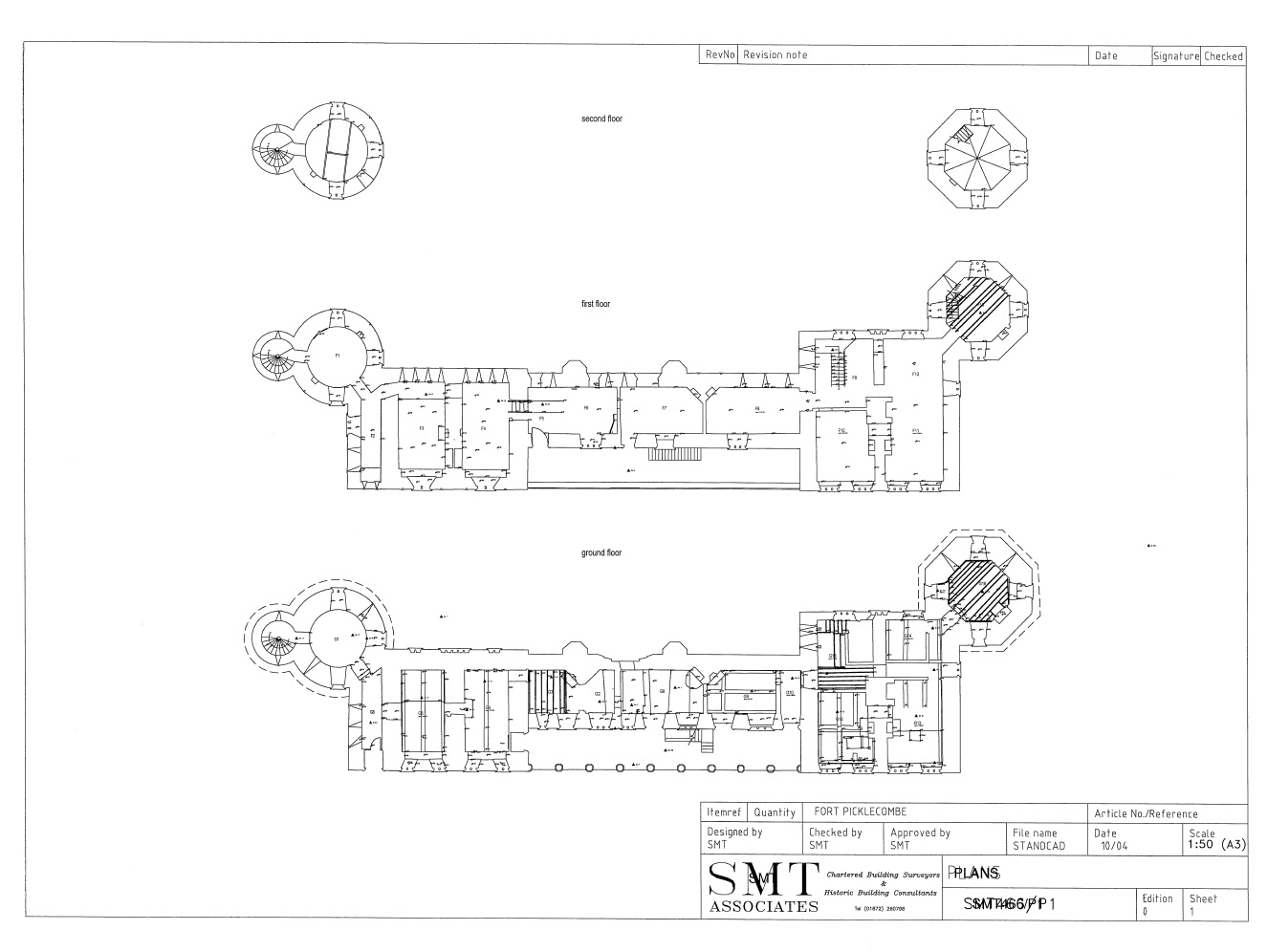
Fort Picklemcombe |
||
 |
 |
|
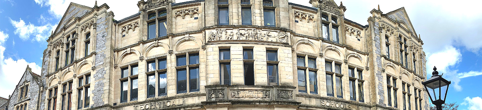
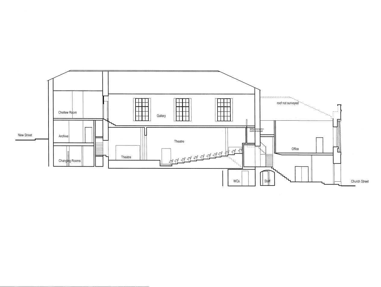
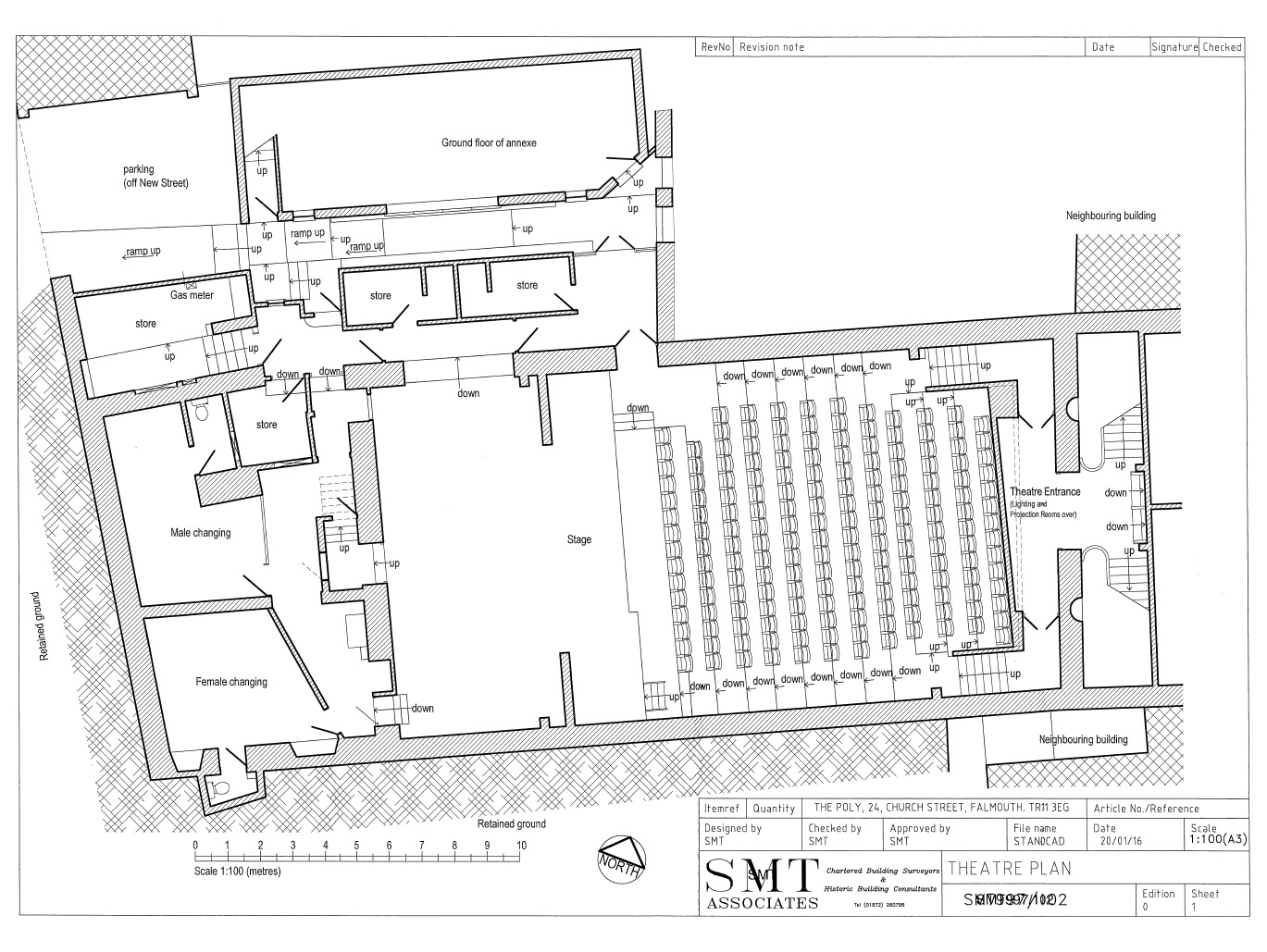
The Poly |
||
 |
 |
|
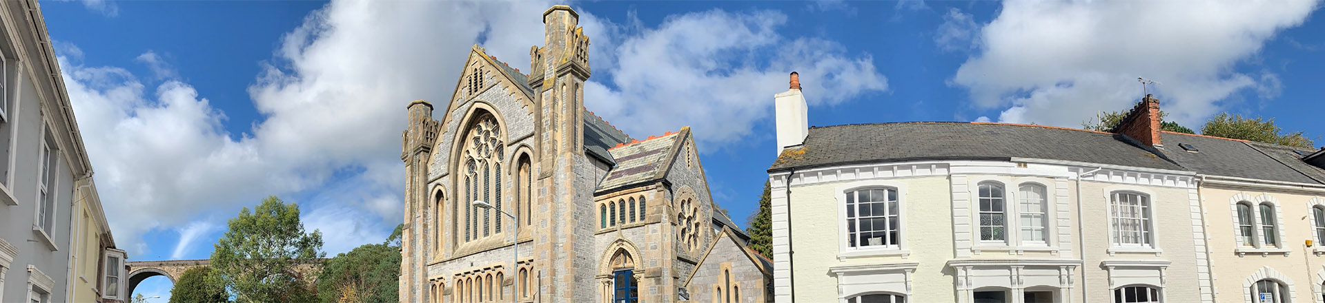
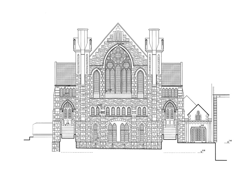
St Georges Methodist Church |
||
 |
 |
|